Born in San Juan, Puerto Rico, a Pisces, Nelsie Aybar-Grau not only enjoyed swimming in the Caribbean Sea but she has enjoyed travels that have brought her in close contact to the waters of the Thames, the Seine, the Yangtse, the Amazon, the Mississippi, the Hudson and the Harlem Rivers. Although she enjoyed swimming she had never pursued athletics in any serious way. After a career in computer programming for Wall Street area financial institutions she moved into the Hudson Valley upstate New York area. Then at 60 years of age as a favor to a friend she started photographing the Rondout Creek and the rowers in the Rondout Rowing Club. After four years of rowing both on land and water she became president of the rowing club from 2014 to 2017. Rowing has changed her life. Living steps away from the Rondout Creek has brought her closer to nature and the meditative rejuvenation that it provides.
Tonight we will have a moon that is 77.4% visible.
It is a “waxing gibbous” moon.
To see how the moon will rise at 5:08pm click on https://www.timeanddate.com/astronomy/night/
Scroll down to “select object” and select “moon” on the right
Then click on the PLAY (“>”) button on the bottom left.
It will show you how the moon behaves over the day.
Enjoy!
FRIDAY……..August 28th, 2020….. Time:..5:12 am EDT . Feels like 63°F (High 82)…..CLOUDY……Humidity 98% …..Wind 2 mph NE (rising to 5 mph at 3pm)………Precipitation : 15% @ 8pm Water temperature 77.0 degrees F (25.0 C); Water plus air temperature = 140.0°F
. —-Tides—– 06:17 AM Sunrise 10:22 AM 3.5 feet High Tide 04:53 PM 0.5 feet Low Tide 05:08 PM Moonrise, 77.4% visible, Waxing Gibbous 07:35 PM Sunset 10:51 PM 4.3 feet High Tide —-Currents—– 05:48 AM slack – 08:48 AM flood 0.99 knots 11:30 AM slack – 03:00 PM ebb -1.17 knots 05:30 PM slack – 08:36 PM flood 1.42 knots 11:54 PM slack – . [Ebb current is when the water flows towards the south (Poughkeepsie). Flood current is when the tide flows towards the north (Albany). Slack is the period in between when the water is still (not flowing north or south).] . NOTE: This information is manually compiled from different websites. If you see a mistake, please let us know. . Thank you. theRondoutRower.com
THURSDAY……..August 27th, 2020….. Time:..5:22 am EDT
Feels like 62°F (High 82)…..CLOUDY……Humidity 79% …..Wind 0 mph SSE (rising to 7 mph at 11am) …………Precipitation : 50% @ noon
Water temperature 78.6 degrees F (25.5 C); Water plus air temperature = 140.6°F
. —-Tides—–
06:16 AM Sunrise
09:13 AM 3.5 feet High Tide
03:54 PM 0.5 feet Low Tide
04:10 PM Moonrise, 67.8% visible, Waxing Gibbous
07:36 PM Sunset
09:47 PM 4.3 feet High Tide —-Currents—–
007:24 AM flood 0.99 knots
010:24 AM slack –
001:36 PM ebb -1.17 knots
004:36 PM slack –
007:30 PM flood 1.44 knots
010:54 PM slack –
.
[Ebb current is when the water flows towards the south (Poughkeepsie). Flood current is when the tide flows towards the north (Albany). Slack is the period in between when the water is still (not flowing north or south).]
. NOTE: This information is manually compiled from different websites. If you see a mistake, please let us know.
.
Thank you.
theRondoutRower.com
Beautiful sunrise, of course. I notice I can get a selfie with an upside down and right side up bridge and backwards. Cool.
Sunrise on the crane also makes it look more rusty than it really is. Cool.
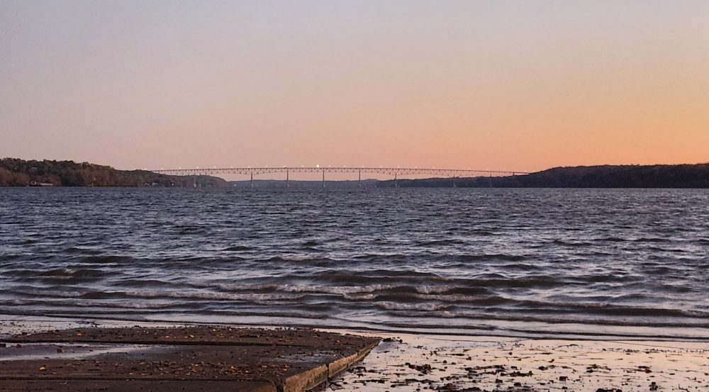
Then at the lighthouse all hell breaks loose. The wind creating quite a chop. I think I can still make it to Kingston Point Beach and give it a try but meet up with more wind and a flood current that is pushing north. But it is a tug of war with the wind blowing south and the current pushing north. I try to video tape around the Kingston Tanks but I can either hold the camera or the oars and not both. I give up and row back to the lighthouse before I surf to the lighthouse (boat is not really meant for surfing).
At the lighthouse I try again to video tape but just then the wind and current set up another battle and at the confluence its always worse. Sorry for the sound effects —I am still struggling to keep my oars perpendicular to my boat as I video tape.
As soon as I get back on the Rondout Creek all is calm. You can see it in the limping flag.
4.63 miles on the eCrumbs map.
Oh, yes, another sailboat will be launched at Hide Away Marina….
Rough waters by Kingston Tanks and I can’t control camera and oars at the same time.