Thursday, Aug. 20, 2020

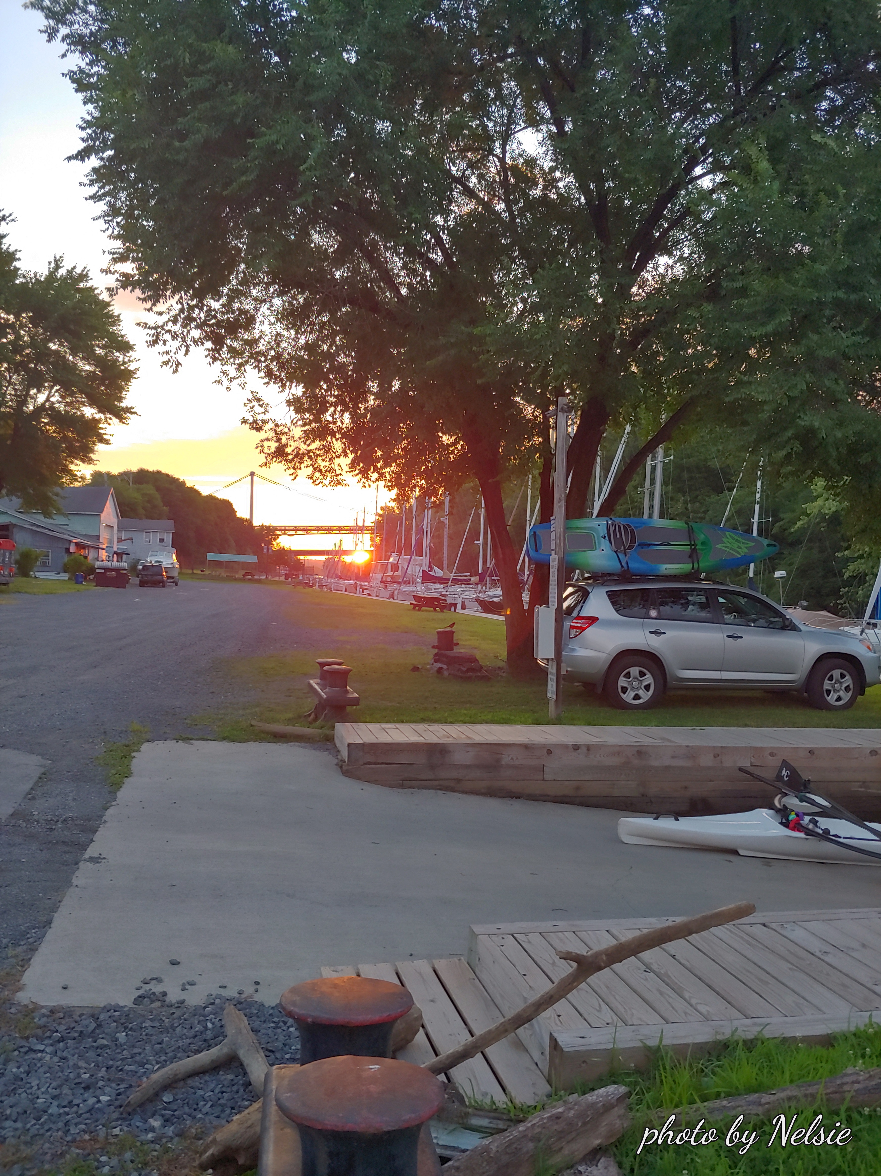
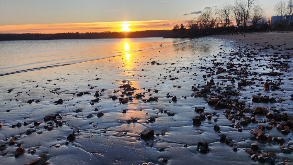
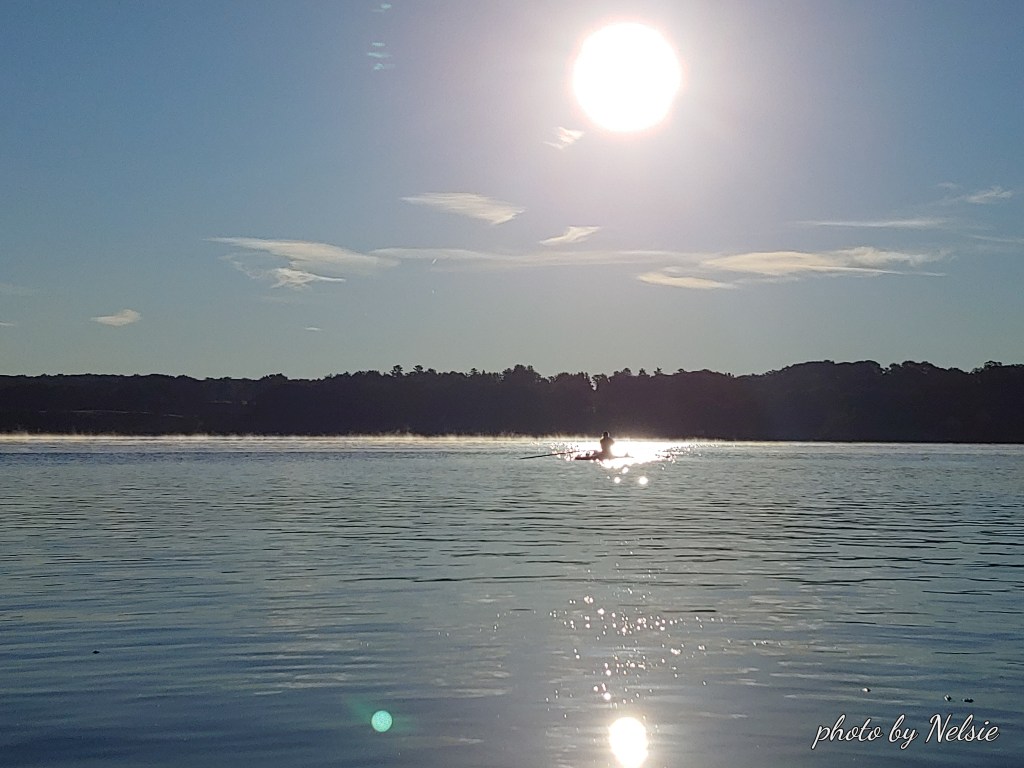
As we approach September things begin to change. The water temperature (now around 78.9) is beginning to drop along with the daily temperature range (now 53 – 79 F). We notice a bit of mist on the water as we begin our journey. Sunrise is at 6:09am when we enter the water.
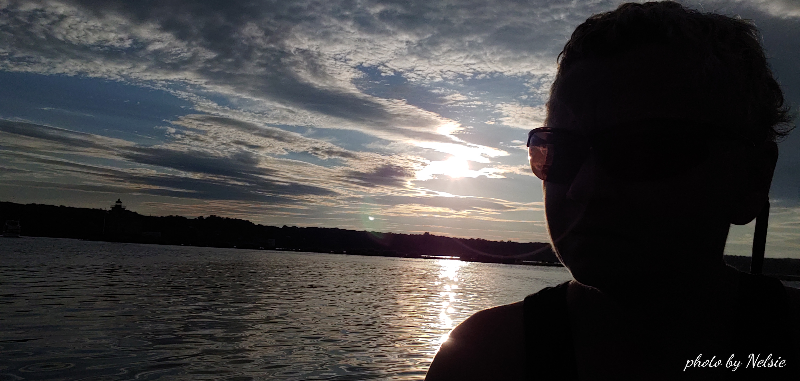
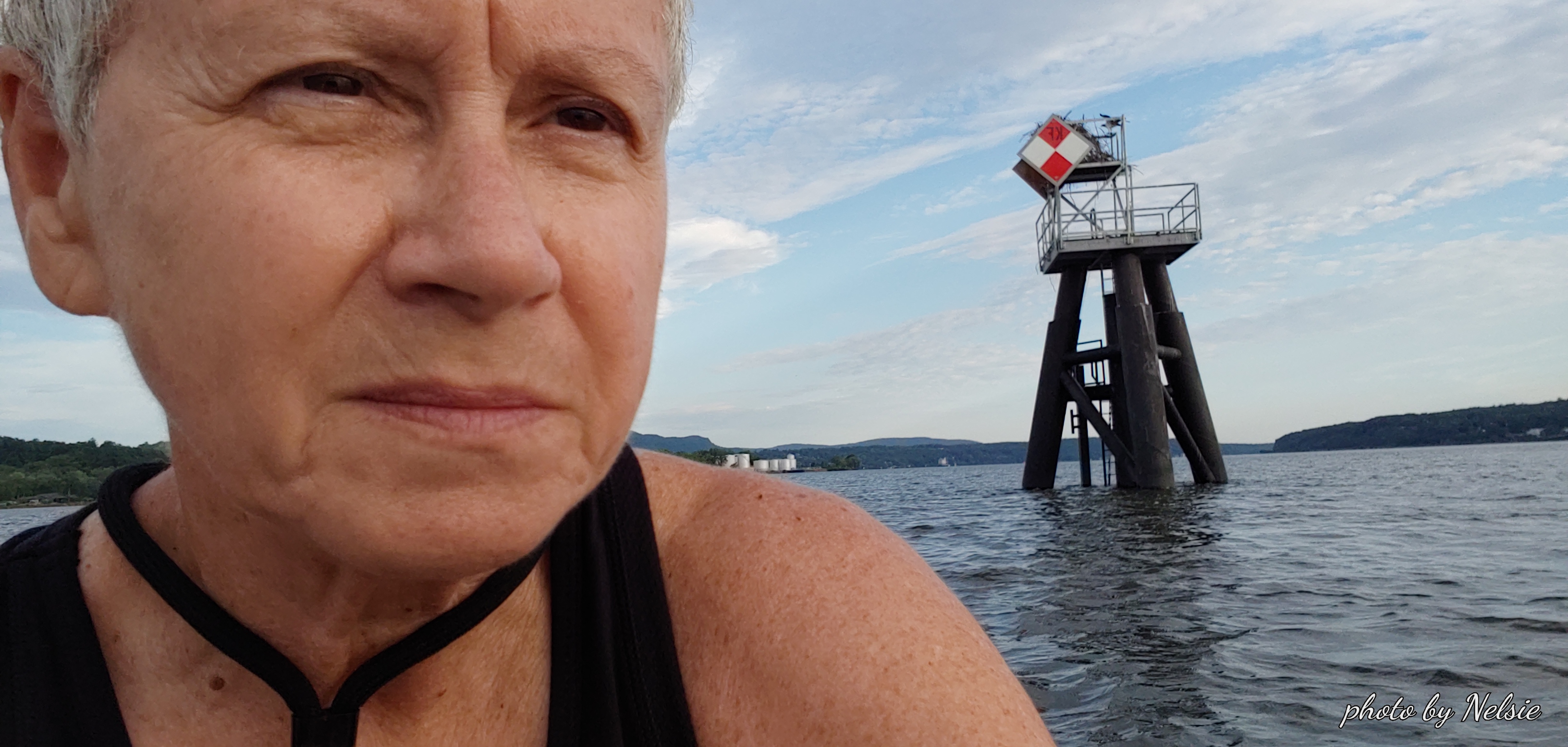
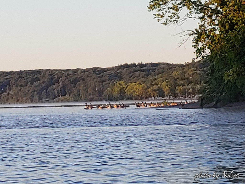
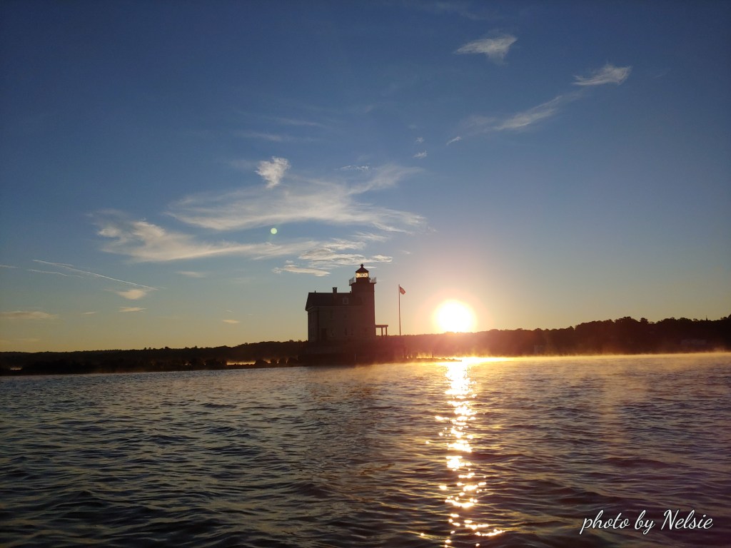
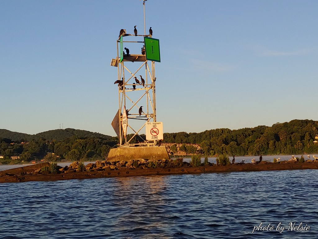
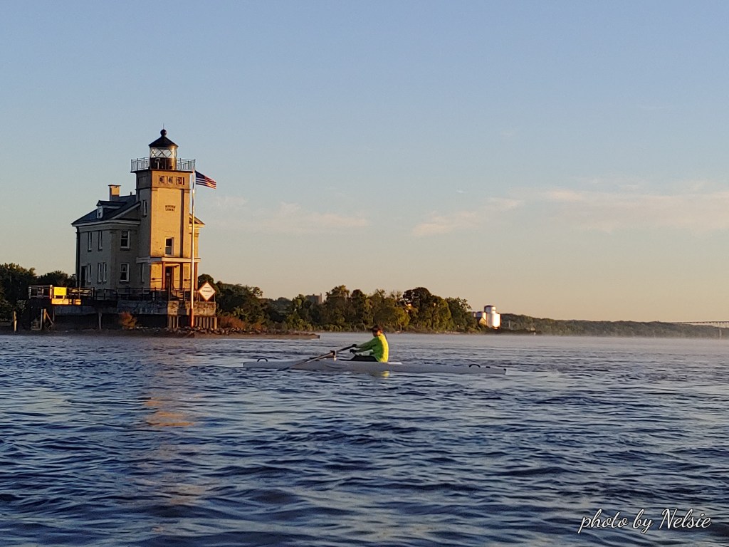
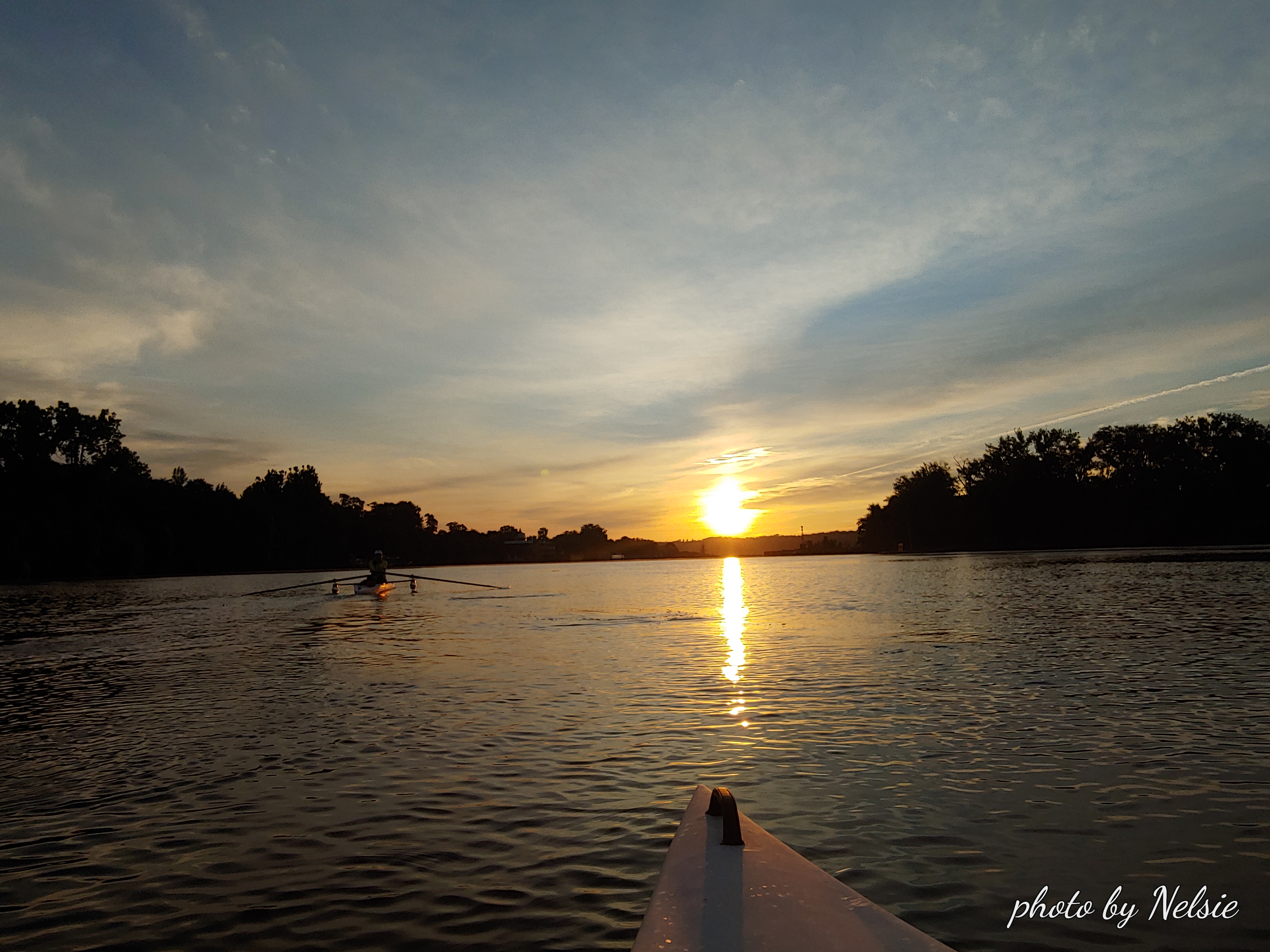
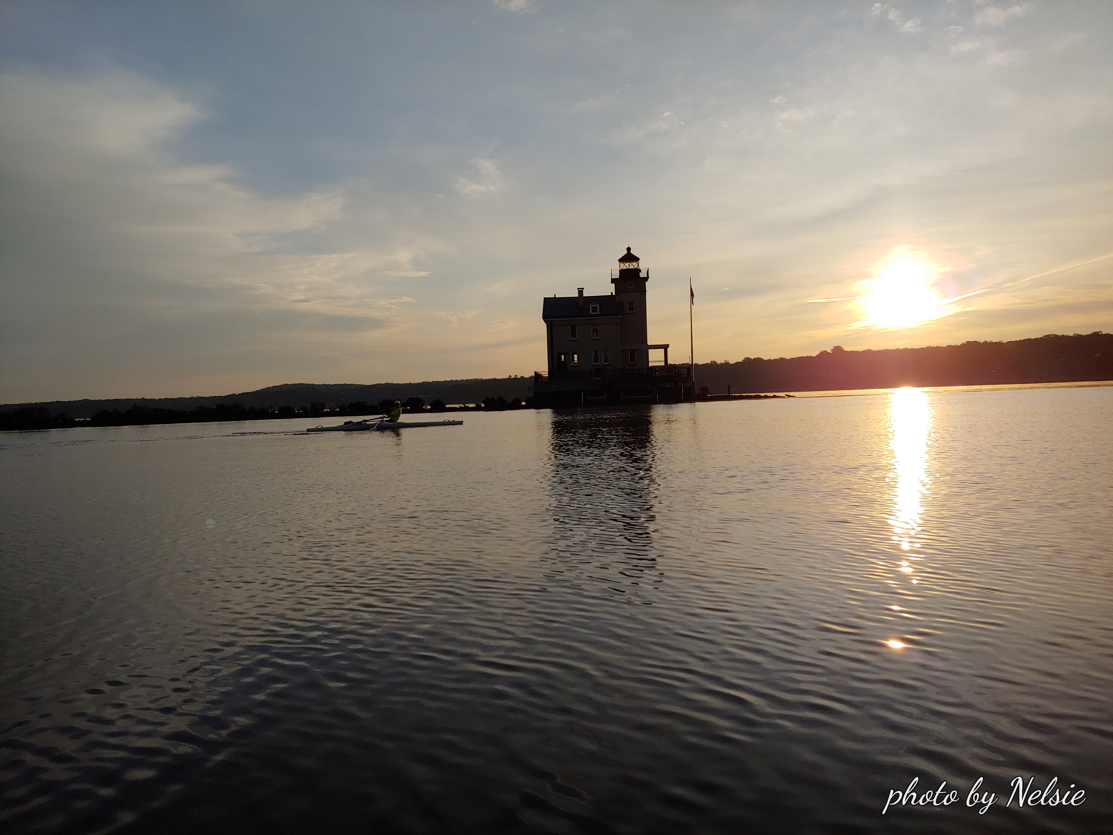
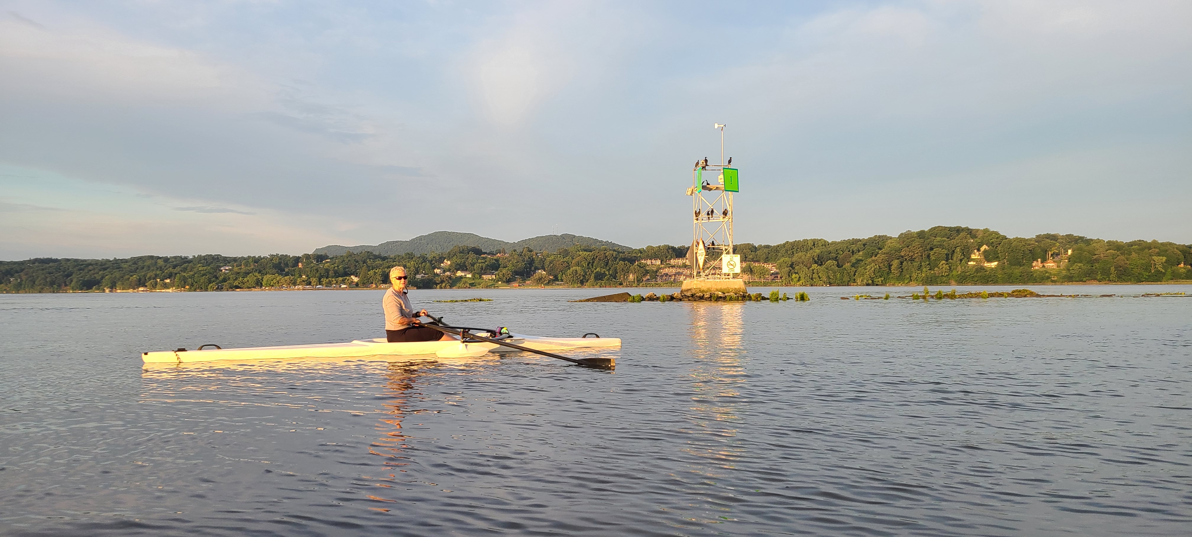
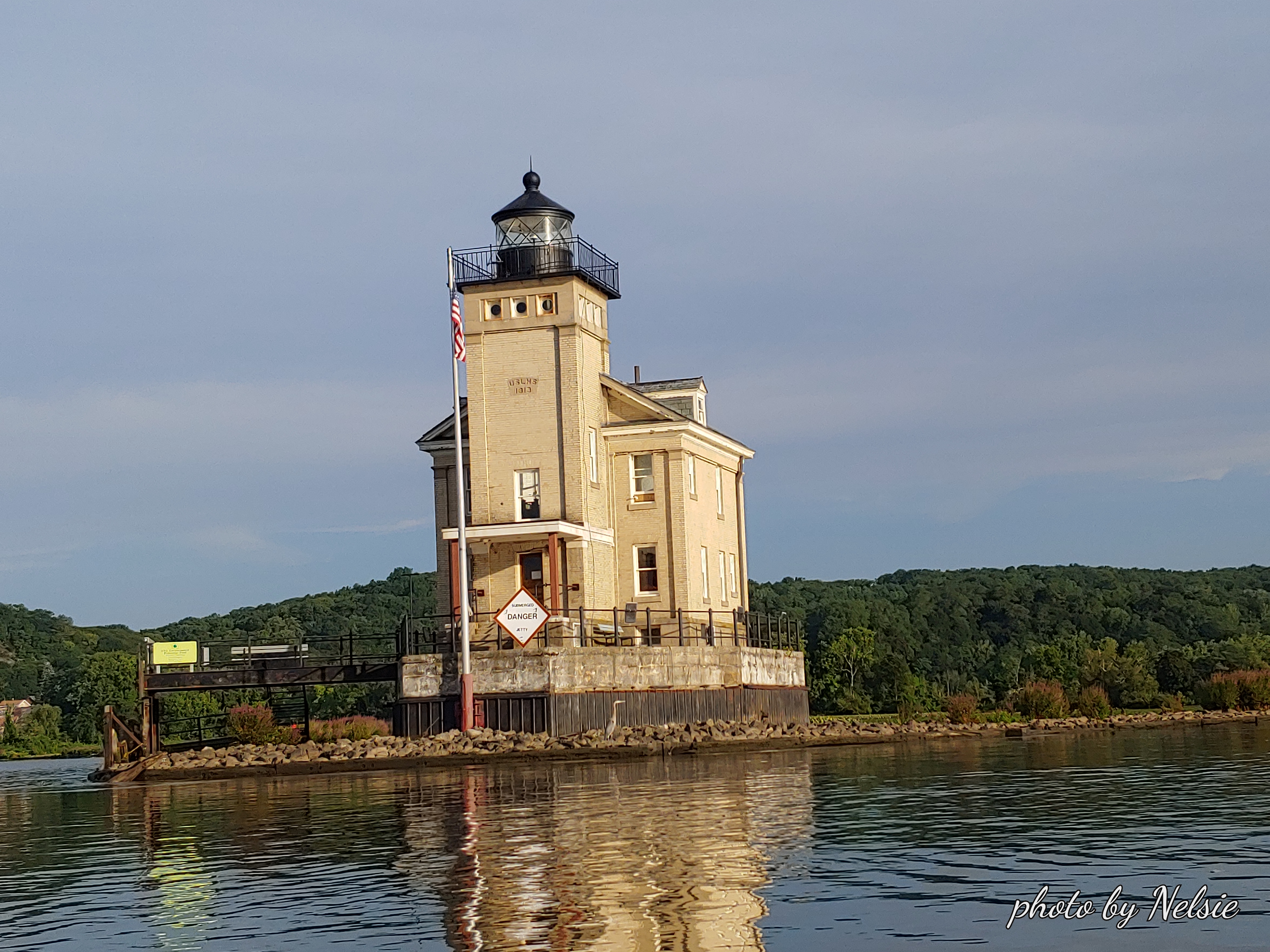
At the Sleightsburgh, where we saw a throng of white egrets yesterday, today we see a throng of mallards. The lighthouse never disappoints at sunrise. But no drama in the clouds. Hotel No. 1 (US Coast Guard Marker) is booked with cormorants, as usual.
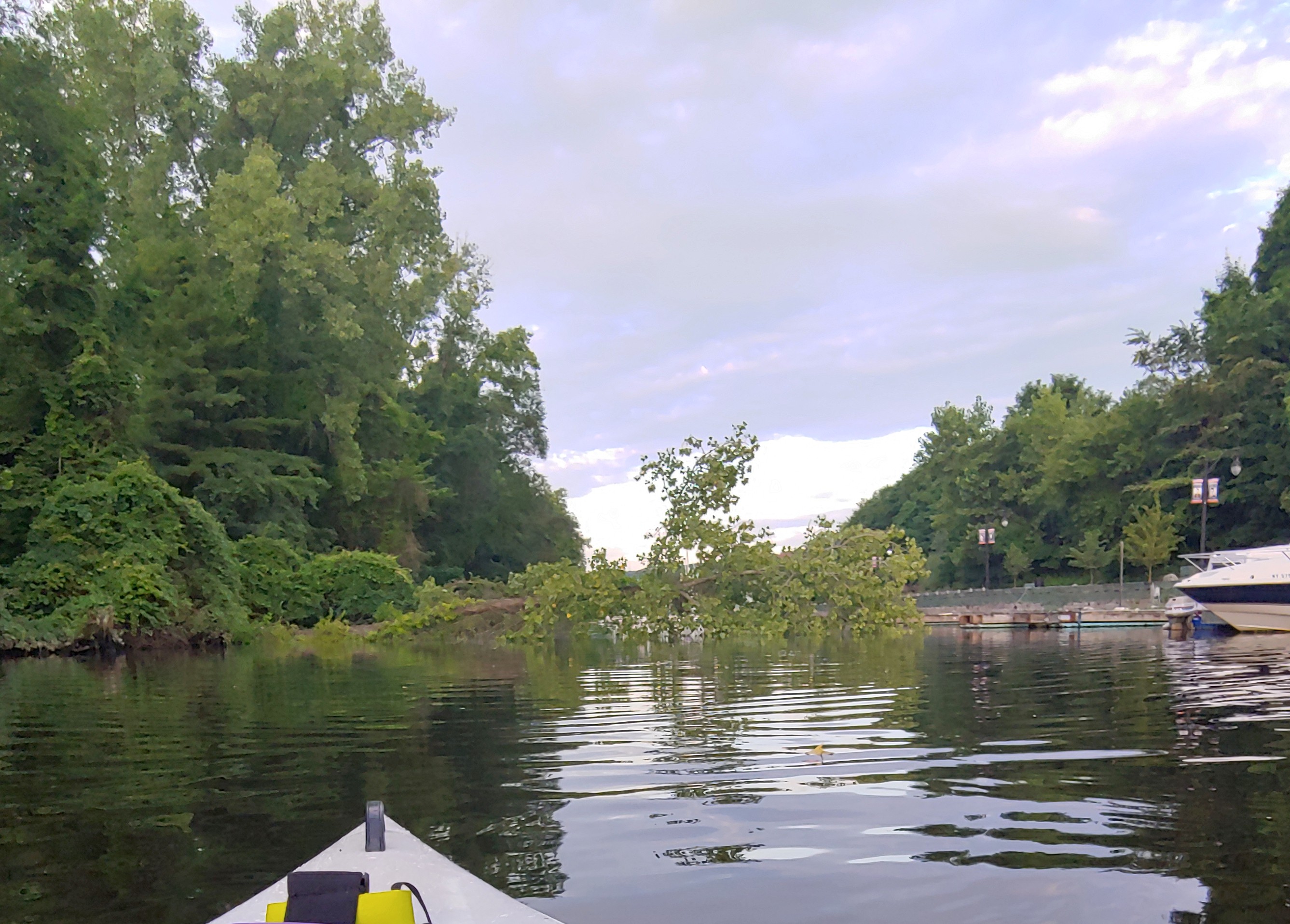
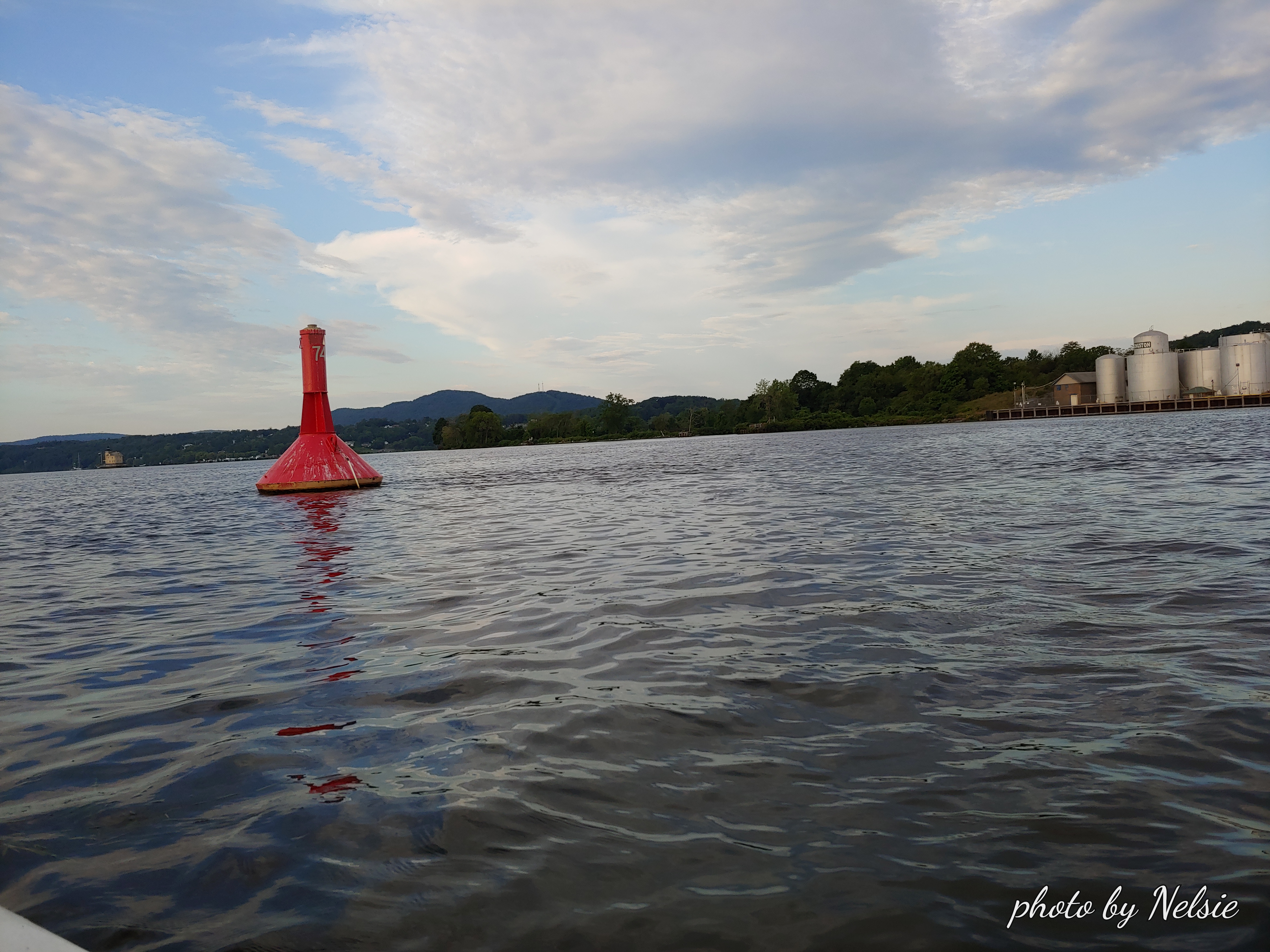
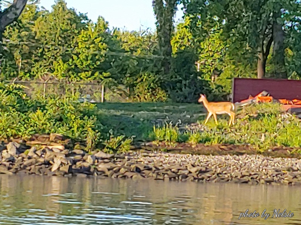
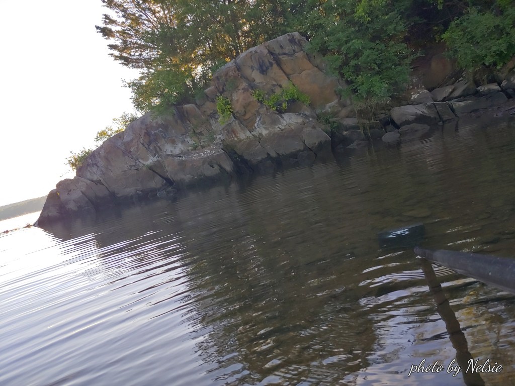
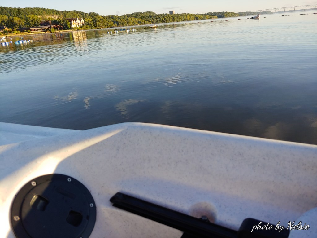
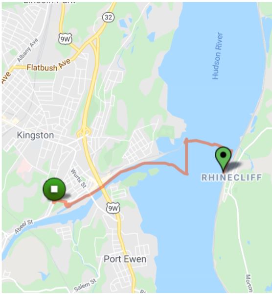
As we row northwest along the waterfront, behind the Kingston Gas tanks, we see a deer on the waterfront. I take a break an disembarque to stretch my legs. The ride to the beach was a bit of a struggle but once you get to the beach area, the water is flat, and very easy to navigate. Very quiet. Just a couple of DPW guys up in the parking lot. No one on the beach or in the water.
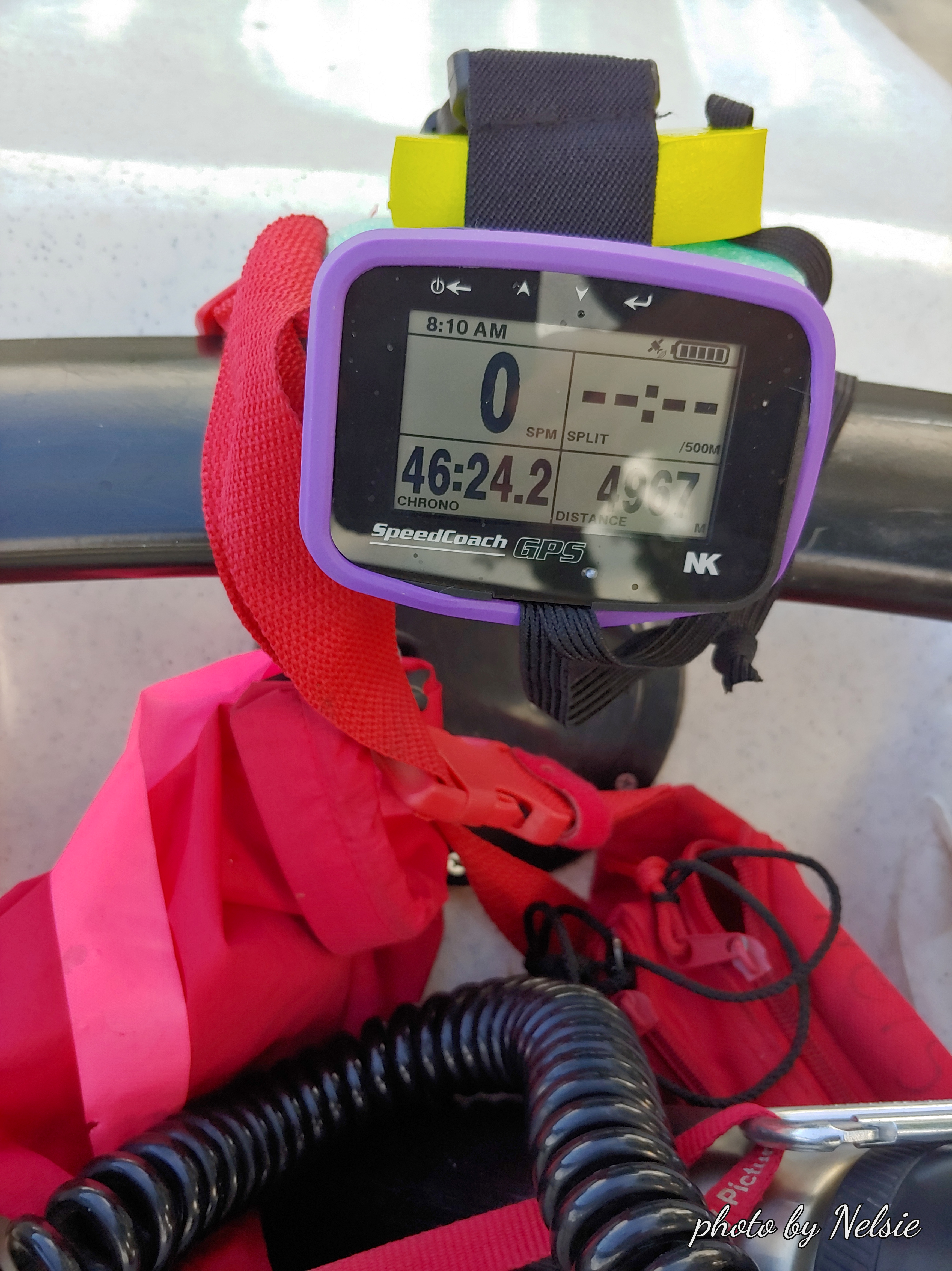
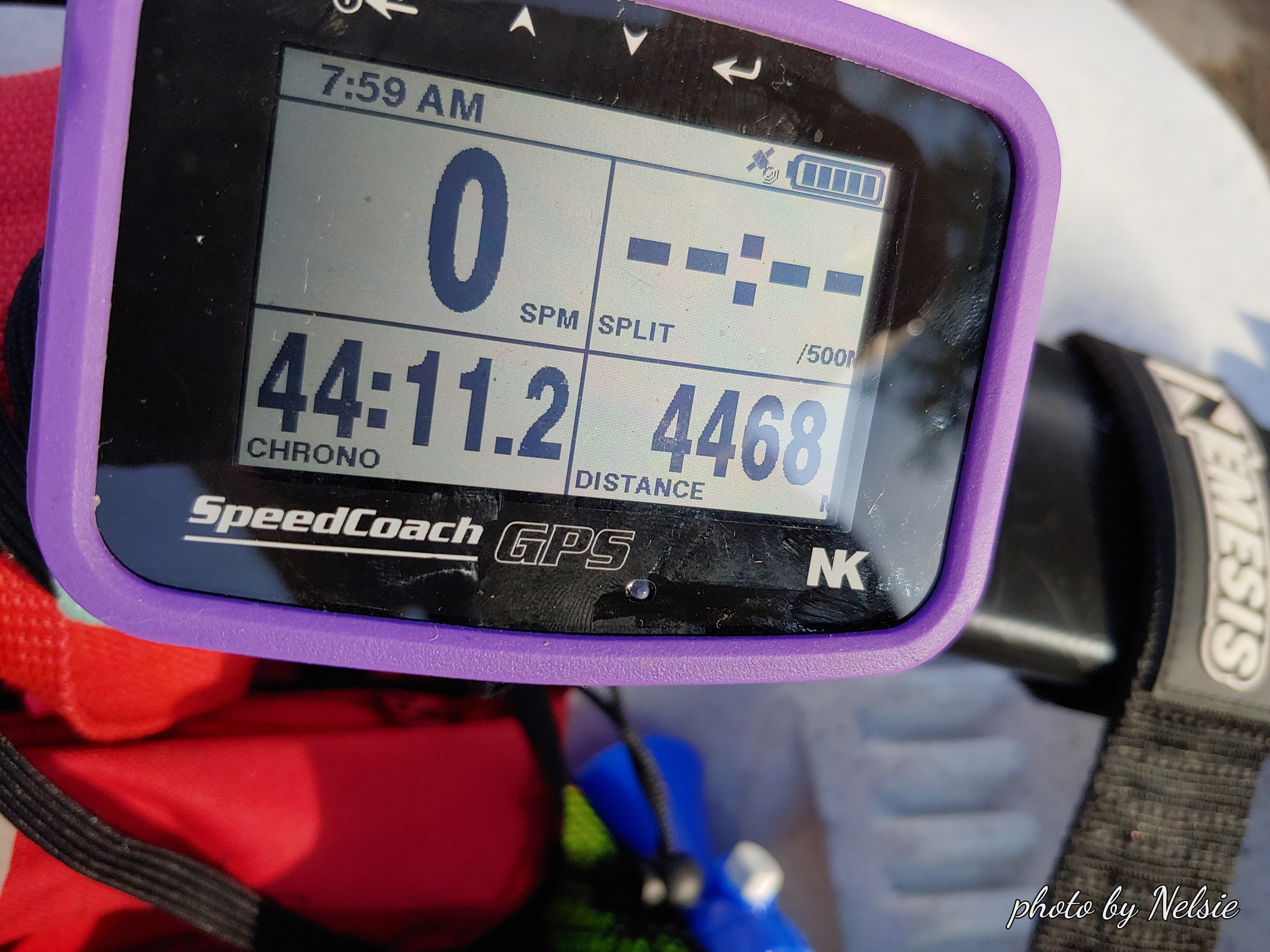
All in all, it was a very nice 5 mile row.

Row on Thursday, August 6, 2020

Nice row this morning. Sunrise was spectacular. The creek was infested with herons darting back and forth across the jetty. We decide to cross the Hudson to see how long it would take and to check out Rhinecliff Train Station. Found that there is a nice boat launch there as well as kayak launch. Rowed back across towards the Kingston Tanks and then home. A total of about 4468X2 = 8936 meters (5.55 miles). Splendid temperature, 70-ish, no traffic on the creek or the river. Just so pea122a2b2ca3a3b45ceful. Can’t wait to be back.


Solo Row today

9934 meters (6.17 miles) To/from US Coast Guard “K/F” Diamonds marker (check out the spot on the map picture). It was a beautiful morning but I immediately dead ended into a tree that had fallen in the channel on the north side of Island Dock. Why dead ended? Because I row backwards and have a habit of not looking where I am going because I know this channel like the back of my hand and did not anticipate a tree falling across it last night! I rowed out on the Hudson to Red Nun 74 to enjoy the wonderful breezes the Hudson provides and was curious about the little tower I can see from the beach when I am there. So I rowed to it. There were at least two osprey nests on top and the inhabitants were very distressed with my visit. Then turned on my NK to find out how far I had traveled. When I hit home port I double the meters. This way I save the battery, Great link to study US Coast Guard markers: https://www.uscgboating.org/images/486.PDF

1 Row beginstree barrierfallen treeArrival at confluenceView from Red Nun 74KF markerMap99 zz from KF marker to home