Quarry Waters Park waterfront
Great row this morning in cloudy conditions. Fortunately the wind was calm and allowed me to go on the Hudson River. The upcoming week holds many a chance of showers so this may be the only time I can row the Hudson this week. Any chance you can get you need to take it!
Started off at around 7am and the Rondout Creek was very quiet. Most people sleep in on Sundays and add a few clouds and they roll over.
Once at the lighthouse I notice a barge being pushed up the Hudson by a tugboat. I stop and watch a while (you can check this out here: https://www.youtube.com/watch?v=llDQq2iD_PM ) . All you can hear is the flag rope hitting the pole and the wind blows gently.
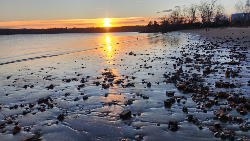
I rowed north of Kingston Point Beach rather quickly and looked back a moment once I was about a half a mile north of it. Reminds you of what you might see if you were arriving at a beach somewhere far, far away.
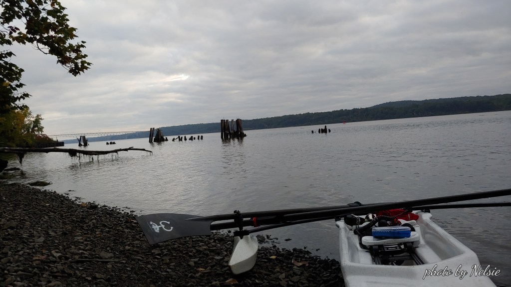
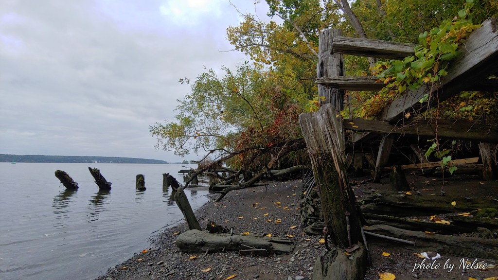
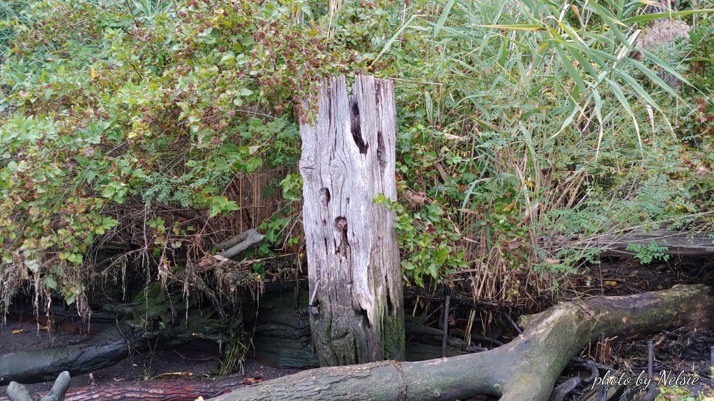
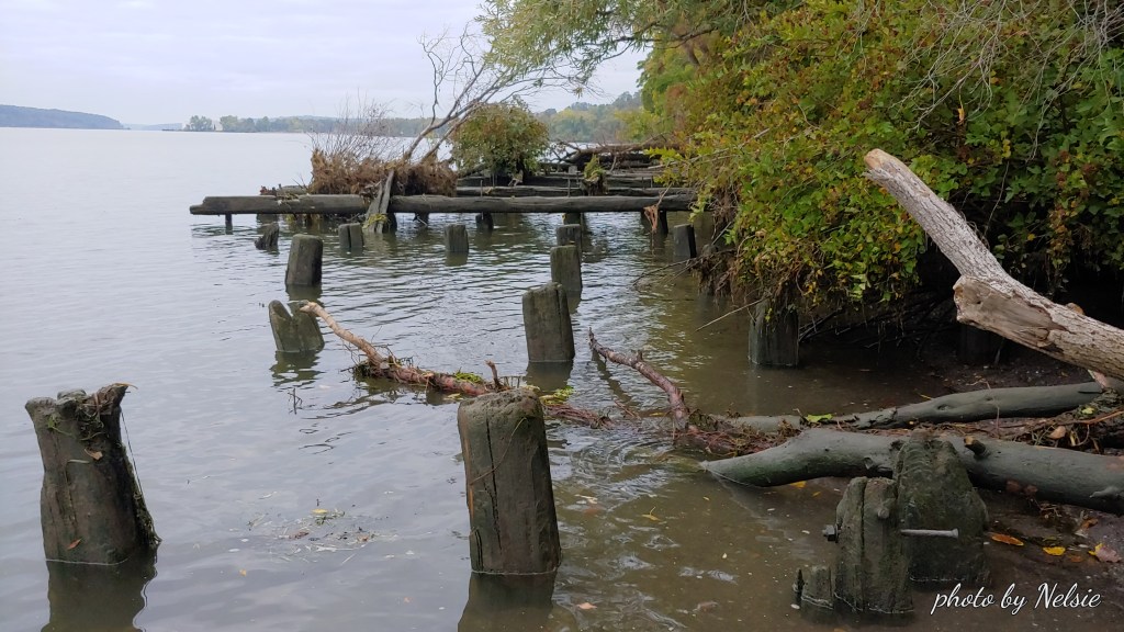
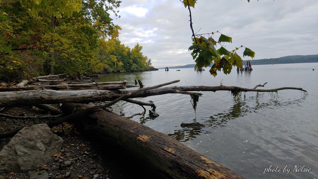
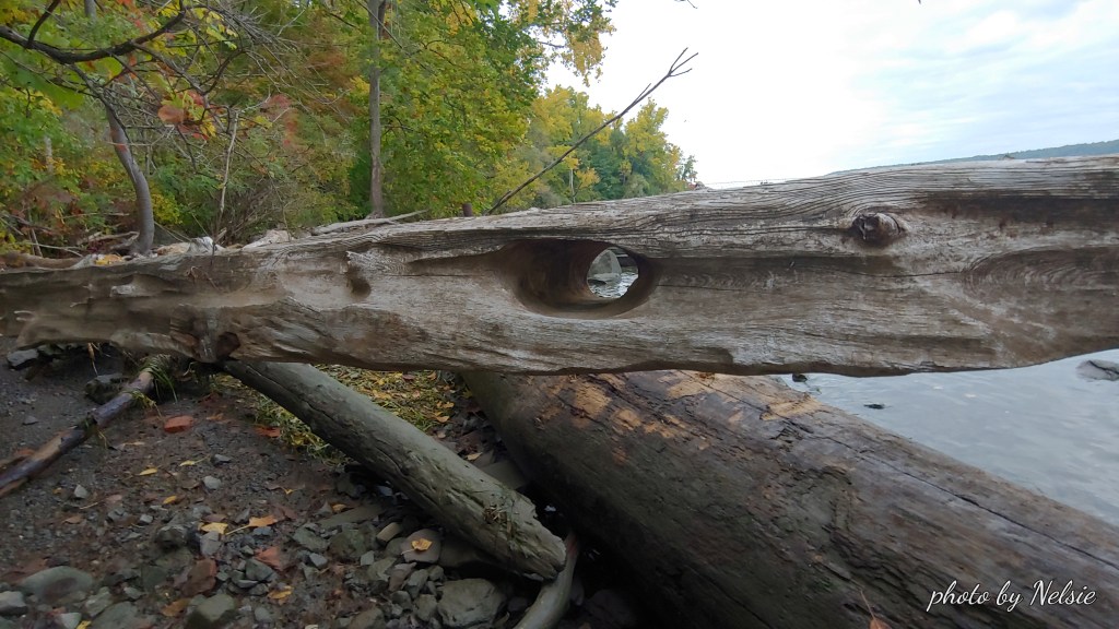
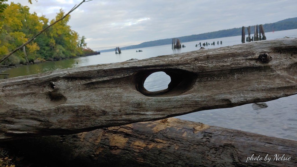
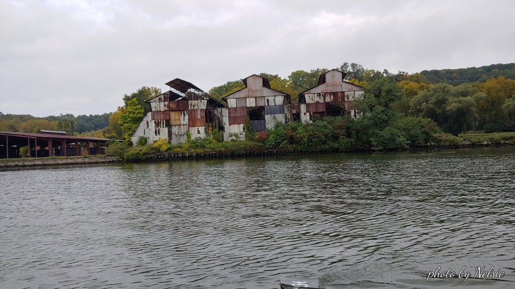
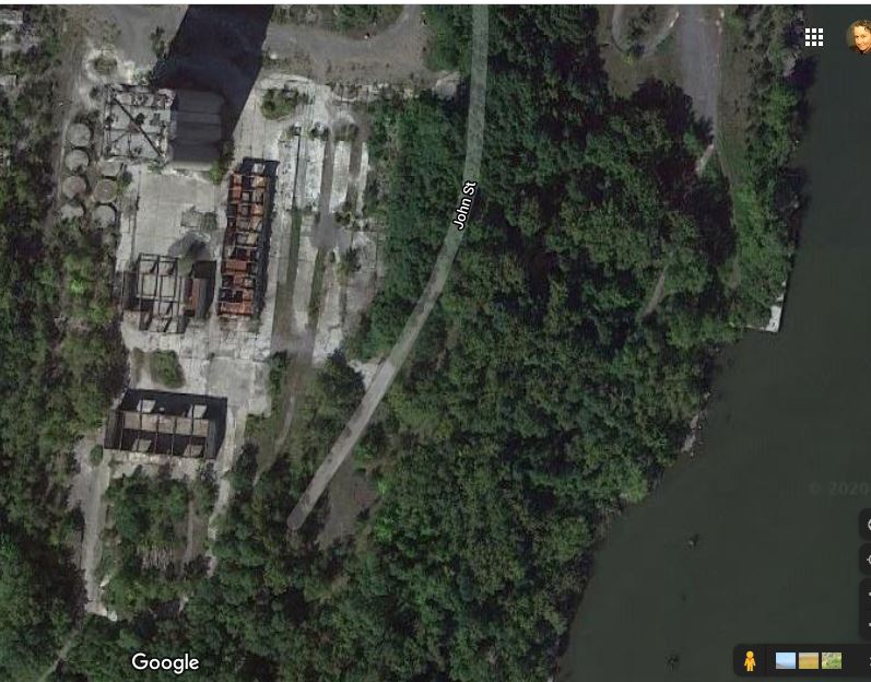
I pull up to a very narrow beach and pull my boat over the shallow area where there are pebbles and stones. The old moorings of docks used by the quarry, “back in the day”, present an interesting, ghostly landscape. One log was particularly interesting. The effect of the water on it showed where a whole was carved by the Hudson straight through it. Water over time makes for wonderful craftsmanship.
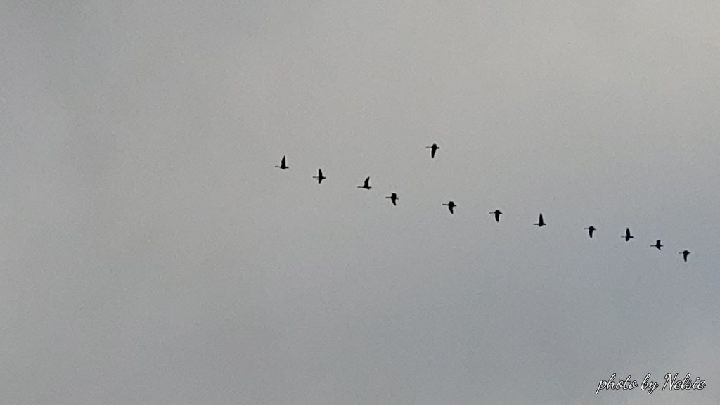
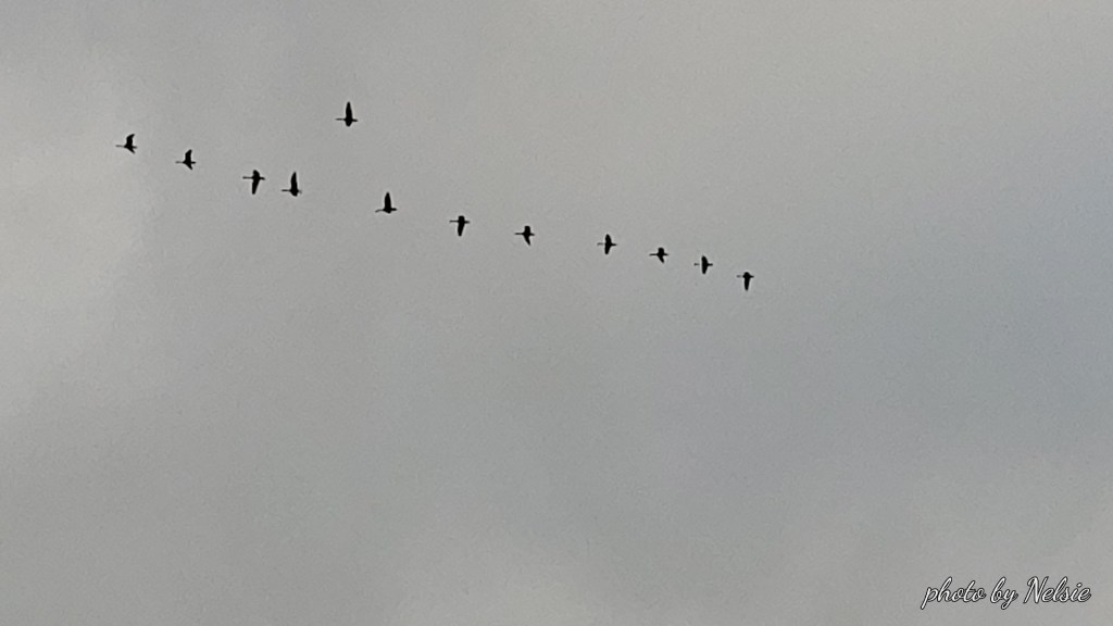
I pull out a candy bar. Reward for rowing for 3 and a half miles. A flock of geese fly overhead. Finally, some sounds to enjoy.
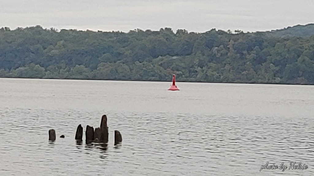
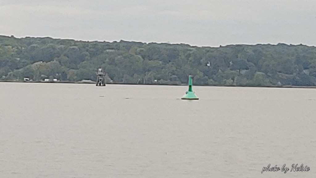
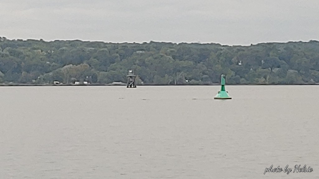
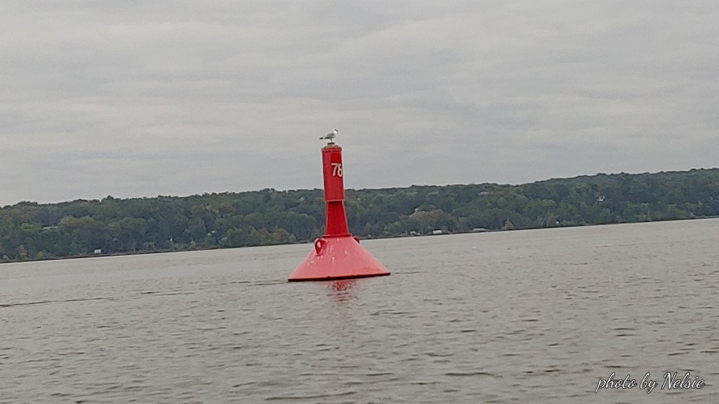
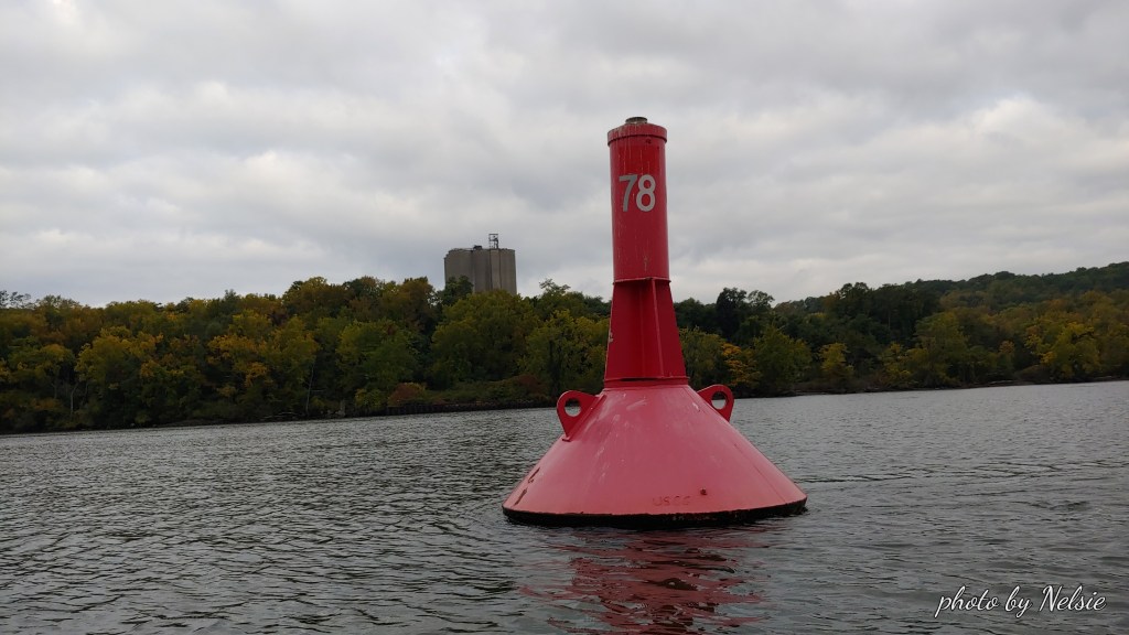
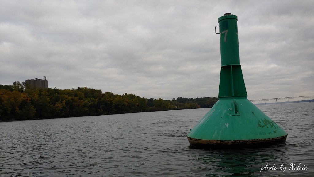
I push off to return but decide to visit USCG red can 78 which is on the east side of the channel heading north. Then I row south to USCG green can 77 on the west side of the channel.
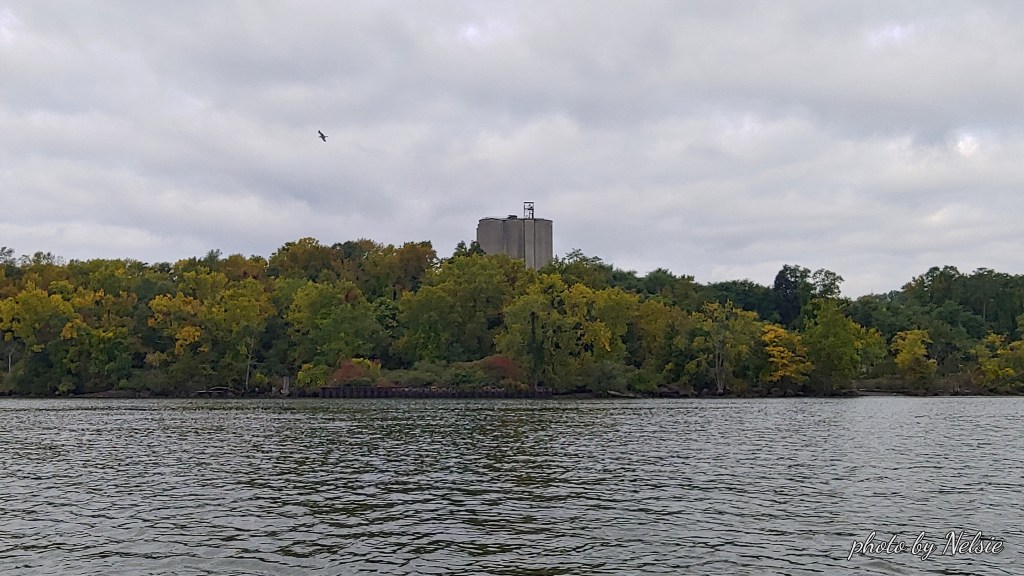
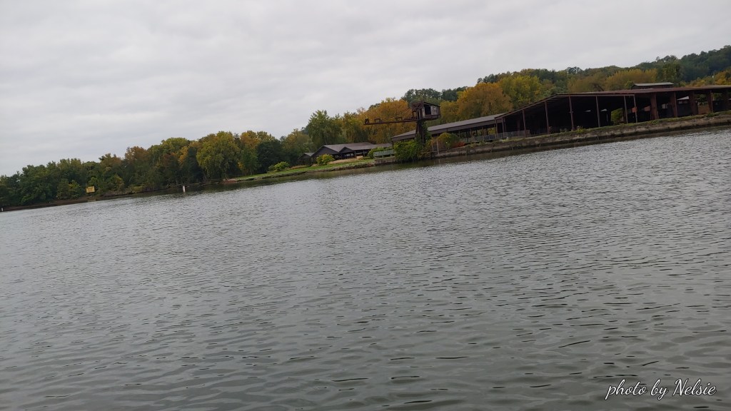
From either one you can see the former cement manufacturing tower of the future Quarry Waters Park site ( https://quarrywatersparkinfo.org/ )..
I notice that this little key chain thermometer and compass made by Coleman actually does work. I have had it for years and never looked at it.
On the way back south I stop to take a picture of the Hutton Brickyards buildings. It’s a shame that the site is only used by a company that stages weddings. That land has so much potential. So much historic value. Not even Bob Dylan could save it!
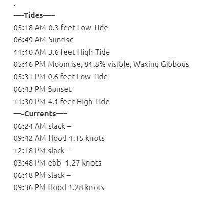
As I pull into the Rondout Creek on my way back to Hide Away Marina I decide to video tape myself being dragged by the flood current into the creek. ( Here is the video https://www.youtube.com/watch?v=bFFEW6cBFy8&t=7s) . Check out the tides and currents tables for this day (below) and you will see that I was supposed to be in a slack current, just before the flood current. When a current begins, either ebb or flood, is the moment when the current is strongest and fastest. I could have just sat in my boat and let the current take me home, but at 1.15 knots it would have been a pretty long trip and at that point (an hour and a half into my row) I was pretty tired and just wanted to get back. I notice a sailboat entering the creek as it motored its way back to wherever it needed to go “sans sails”.
I finally pull into the boat launch ramp at Hide Away where a cormorant was checking out the fish in the channel on the north side of Island Dock.
Hope you enjoy my pictures on such a dreary day.