Unknown's avatar

About The Rondout Rower

Born in San Juan, Puerto Rico, a Pisces, Nelsie Aybar-Grau not only enjoyed swimming in the Caribbean Sea but she has enjoyed travels that have brought her in close contact to the waters of the Thames, the Seine, the Yangtse, the Amazon, the Mississippi, the Hudson and the Harlem Rivers. Although she enjoyed swimming she had never pursued athletics in any serious way. After a career in computer programming for Wall Street area financial institutions she moved into the Hudson Valley upstate New York area. Then at 60 years of age as a favor to a friend she started photographing the Rondout Creek and the rowers in the Rondout Rowing Club. After four years of rowing both on land and water she became president of the rowing club from 2014 to 2017. Rowing has changed her life. Living steps away from the Rondout Creek has brought her closer to nature and the meditative rejuvenation that it provides.

Rondout Creek TIDES AND CURRENTS

TUESDAY……..September 29th, 2020….. Time:..5:36 am EDT
.
Feels like 64°F (High 75)…..CLOUDY……Humidity 97% …..Wind 4 mph S (rising to 9 mph at 2 pm) …………Precipitation : 65 % @ 2 pm
Water temperature 68.7 degrees F (20.5 °C); Water plus air temperature = 132.7 °F
.
—-Tides—–
06:51 AM Sunrise
06:51 AM 0.2 feet Low Tide
12:49 PM 3.9 feet High Tide
06:12 PM Moonrise, 94.2% visible, Waxing Gibbous
06:40 PM Sunset
07:08 PM 0.4 feet Low Tide
—-Currents—–
05:12 AM ebb -1.67 knots
08:06 AM slack –
11:24 AM flood 1.43 knots
02:00 PM slack –
05:30 PM ebb -1.56 knots
08:12 PM slack –
11:24 PM flood 1.42 knots
.
[Ebb current is when the water flows towards the south (Poughkeepsie). Flood current is when the tide flows towards the north (Albany). Slack is the period in between when the water is still (not flowing north or south).]
Understanding USCG markers in our area: https://www.youtube.com/watch?v=oP8vNMQctjM&t=157s
.
NOTE: This information is manually compiled from different websites. If you see a mistake, please let us know.
.
Thank you.
theRondoutRower.com

Kingston Weather: https://www.wunderground.com/hourly/us/ny/kingston/12401?cm_ven=localwx_hour
Visual Tides:
https://tides.mobilegeographics.com/locations/3985.html
Water Temps
https://waterdata.usgs.gov/ny/nwis/uv/?site_no=01359139&blurb=%20USGS+Real-Time+Water+Data+Information
Currents:
https://tidesandcurrents.noaa.gov/noaacurrents/Predictions?id=HUR0509_9
Moon Phases:
https://www.timeanddate.com/moon/phases/
https://www.timeanddate.com/astronomy/night/
How to read a compass: https://www.nationaltrust.org.uk/features/how-to-read-a-compass#:~:text=The%20most%20important%20part%20on,in%20the%20direction%20of%20south.
Learn about the history of rowing: https://www.youtube.com/watch?v=2NyQrFYuYKY&t=204s

Rondout Creek TIDES AND CURRENTS

MONDAY……..September 28th, 2020….. Time:..5:06 am EDT
.
Feels like 67°F (High 78)…..CLOUDY……Humidity 99% …..Wind 3 mph SSE (rising to 11 mph at 1 pm) ………..Precipitation : 45 % @ 7 am
Water temperature 67.8 degrees F (19.5 °C); Water plus air temperature = 134.8 °F
.
—-Tides—–
06:06 AM 0.2 feet Low Tide
06:50 AM Sunrise
12:04 PM 3.8 feet High Tide
05:45 PM Moonrise, 88.8% visible, Waxing Gibbous
06:21 PM 0.5 feet Low Tide
06:41 PM Sunset
—-Currents—–
04:24 AM ebb -1.62 knots
07:18 AM slack –
10:36 AM flood 1.30 knots
01:12 PM slack –
04:42 PM ebb -1.43 knots
07:18 PM slack –
10:36 PM flood 1.36 knots
.
[Ebb current is when the water flows towards the south (Poughkeepsie). Flood current is when the tide flows towards the north (Albany). Slack is the period in between when the water is still (not flowing north or south).]
Understanding USCG markers in our area: https://www.youtube.com/watch?v=oP8vNMQctjM&t=157s
.
NOTE: This information is manually compiled from different websites. If you see a mistake, please let us know.
.
Thank you.
theRondoutRower.com

Kingston Weather: https://www.wunderground.com/hourly/us/ny/kingston/12401?cm_ven=localwx_hour
Visual Tides:
https://tides.mobilegeographics.com/locations/3985.html
Water Temps
https://waterdata.usgs.gov/ny/nwis/uv/?site_no=01359139&blurb=%20USGS+Real-Time+Water+Data+Information
Currents:
https://tidesandcurrents.noaa.gov/noaacurrents/Predictions?id=HUR0509_9
Moon Phases:
https://www.timeanddate.com/moon/phases/
https://www.timeanddate.com/astronomy/night/
How to read a compass: https://www.nationaltrust.org.uk/features/how-to-read-a-compass#:~:text=The%20most%20important%20part%20on,in%20the%20direction%20of%20south.
Learn about the history of rowing: https://www.youtube.com/watch?v=2NyQrFYuYKY&t=204s
Seven mile row this morning

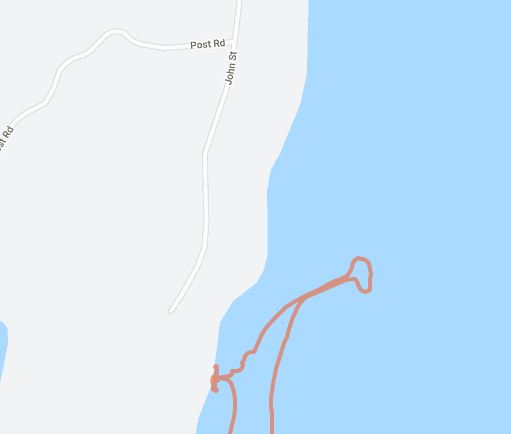
Quarry Waters Park waterfront

Great row this morning in cloudy conditions.  Fortunately the wind was calm and allowed me to go on the Hudson River.  The upcoming week holds many a chance of showers so this may be the only time I can row the Hudson this week.  Any chance you can get you need to take it!

Started off at around 7am and the Rondout Creek was very quiet.  Most people sleep in on Sundays and add a few clouds and they roll over. 

Once at the lighthouse I notice a barge being pushed up the Hudson by a tugboat.  I stop and watch a while (you can check this out here:  https://www.youtube.com/watch?v=llDQq2iD_PM ) .  All you can hear is the flag rope hitting the pole and the wind blows gently.

I rowed north of Kingston Point Beach rather quickly and looked back a moment once I was about a half a mile north of it.  Reminds you of what you might see if you were arriving at a beach somewhere far, far away.  

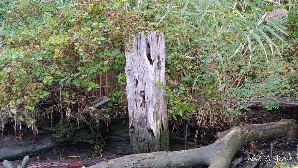
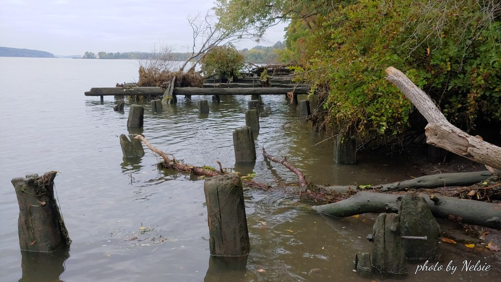
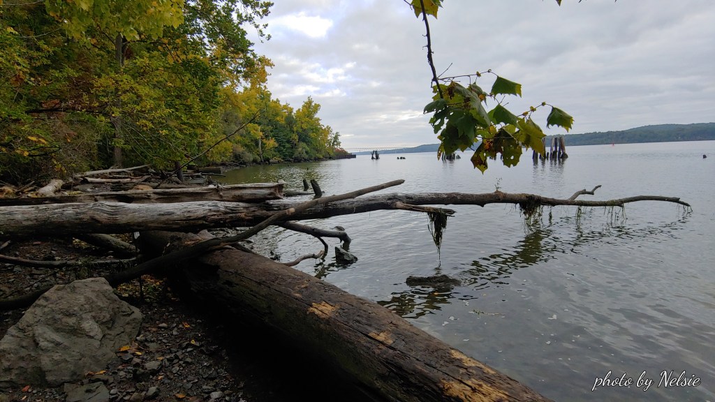
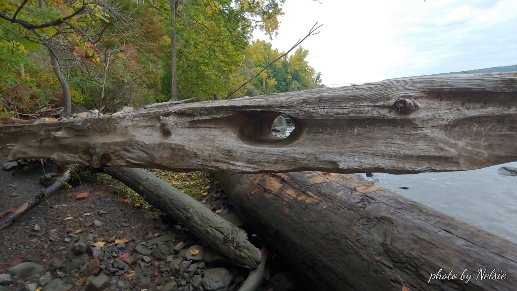
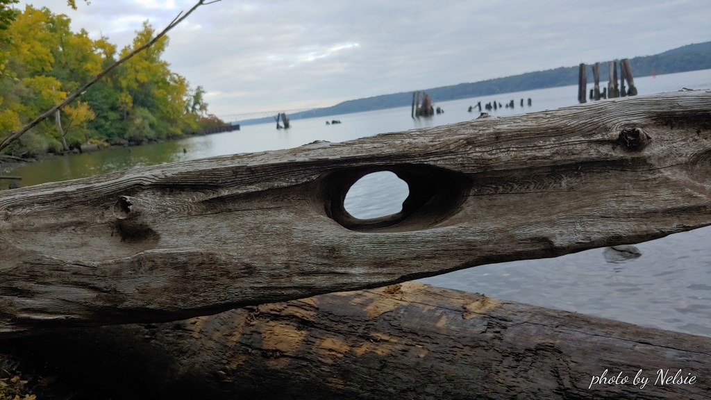
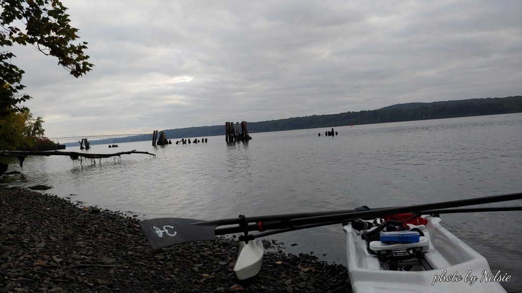
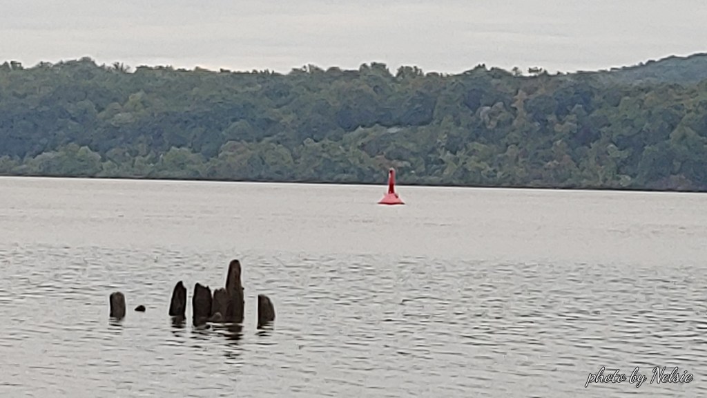
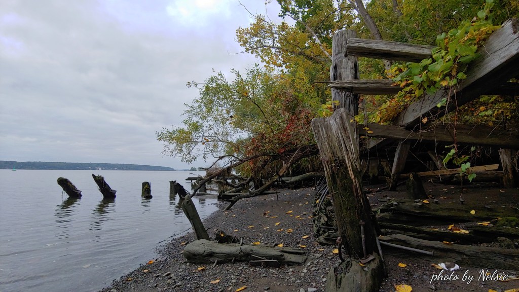
I pull up to a very narrow beach and pull my boat over the shallow area where there are pebbles and stones.   The old moorings of docks used by the quarry, “back in the day”, present an interesting, ghostly landscape.  One log was particularly interesting.  The effect of the water on it showed where a whole was carved by the Hudson straight through it.   Water over time makes for wonderful craftsmanship. 

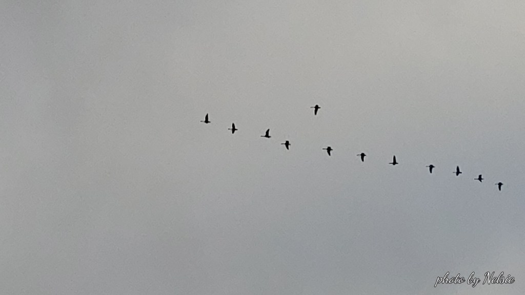
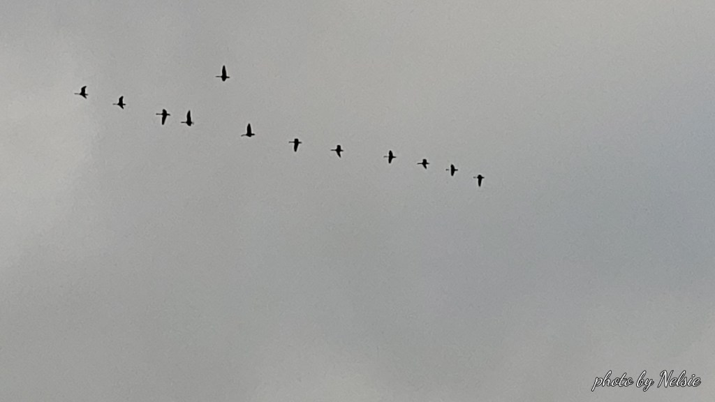
I pull out a candy bar.  Reward for rowing for 3 and a half miles.   A flock of geese fly overhead.  Finally, some sounds to enjoy. 

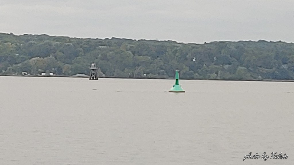
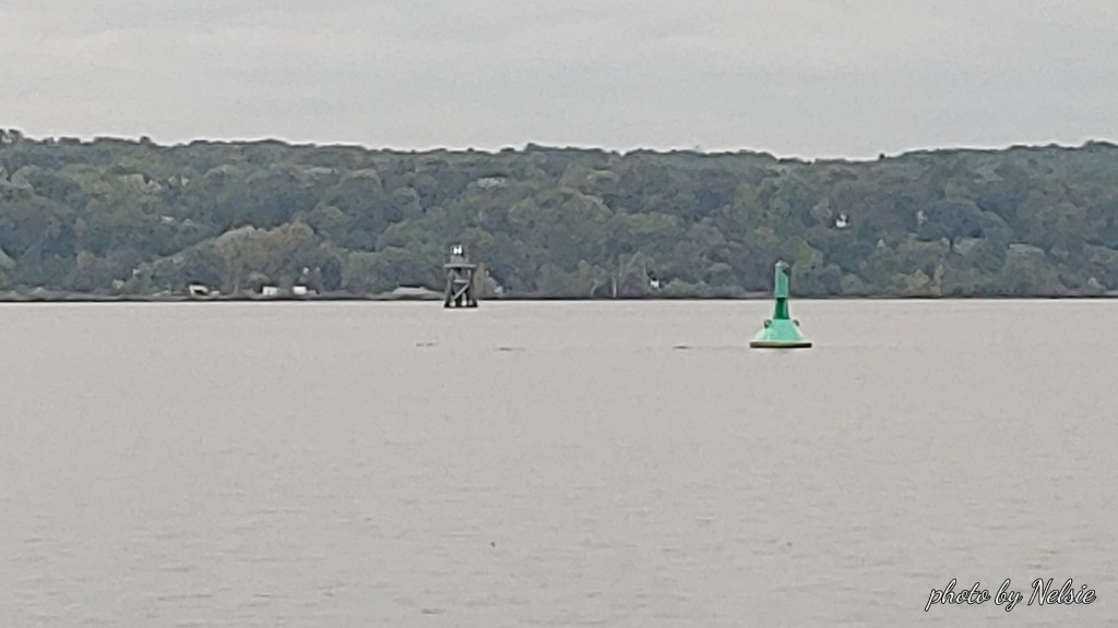
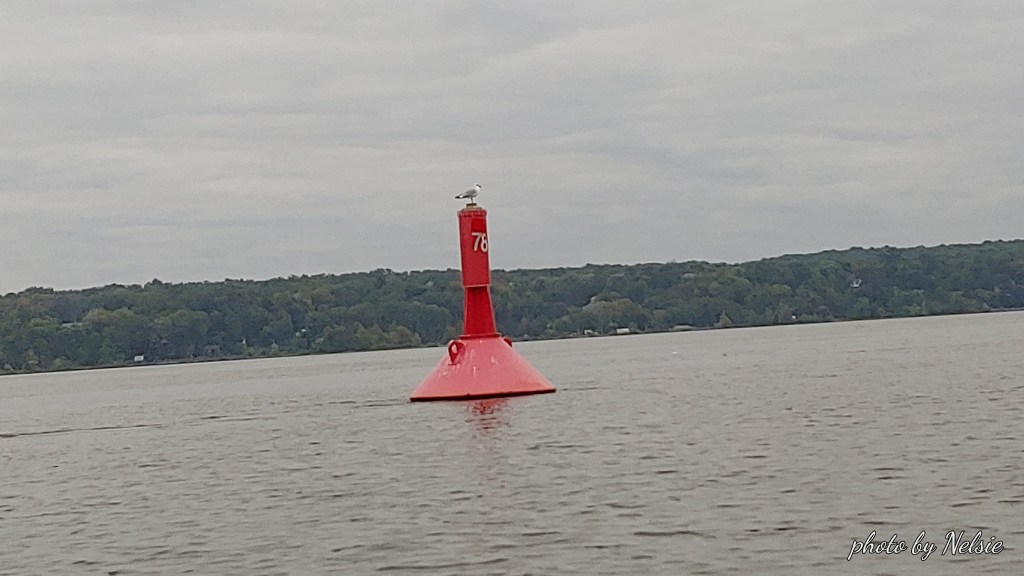
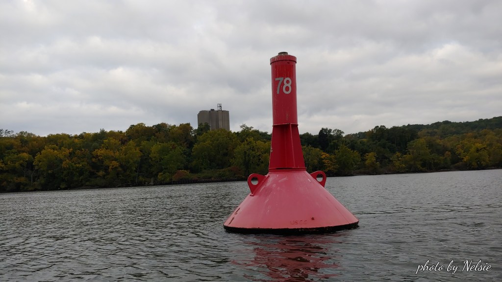
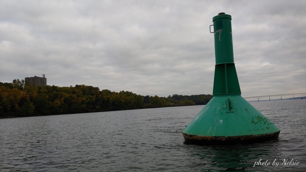
I push off to return but decide to visit USCG red can 78 which is on the east side of the channel heading north.  Then I row south to USCG green can 77 on the west side of the channel. 

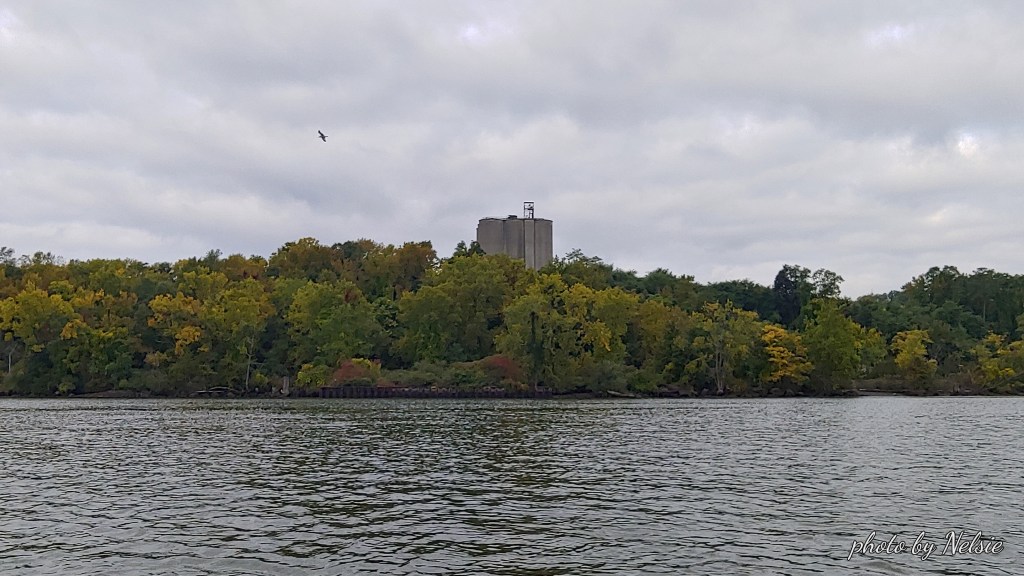
From either one you can see the former cement manufacturing tower of the future Quarry Waters Park site ( https://quarrywatersparkinfo.org/ )..

I notice that this little key chain thermometer and compass made by Coleman actually does work.  I have had it for years and never looked at it.

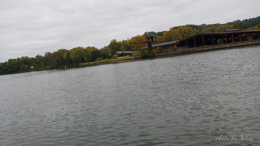
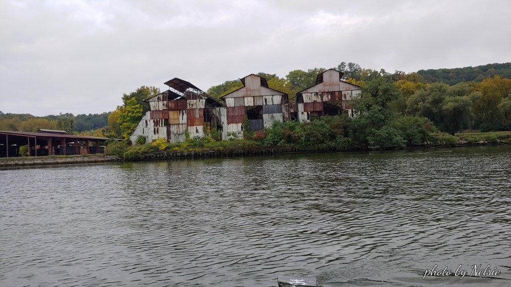
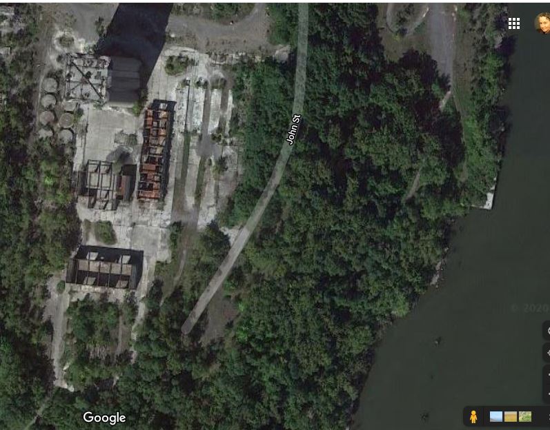
On the way back south I stop to take a picture of the Hutton Brickyards buildings.  It’s a shame that the site is only used by a company that stages weddings.  That land has so much potential.  So much historic value.  Not even Bob Dylan could save it!

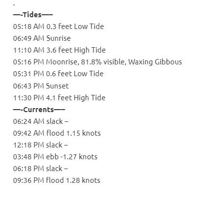
As I pull into the Rondout Creek on my way back to Hide Away Marina I decide to video tape myself being dragged by the flood current into the creek. ( Here is the video  https://www.youtube.com/watch?v=bFFEW6cBFy8&t=7s) .  Check out the tides and currents tables for this day (below) and you will see that I was supposed to be in a slack current, just before the flood current.   When a current begins, either ebb or flood, is the moment when the current is strongest and fastest.   I could have just sat in my boat and let the current take me home, but at 1.15 knots it would have been a pretty long trip and at that point (an hour and a half into my row) I was pretty tired and just wanted to get back.  I notice a sailboat entering the creek as it motored its way back to wherever it needed to go “sans sails”.

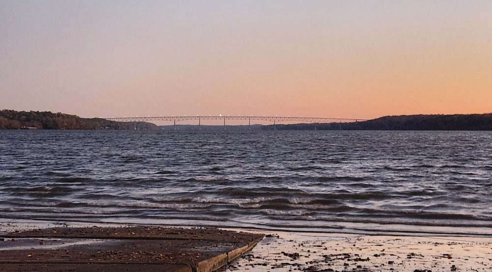
I finally pull into the boat launch ramp at Hide Away where a cormorant was checking out the fish in the channel on the north side of Island Dock. 

Hope you enjoy my pictures on such a dreary day.

Rondout Creek TIDES AND CURRENTS

SUNDAY……..September 27th, 2020….. Time:..5:11 am EDT
.
Feels like 65°F (High 79)…..CLOUDY……Humidity 93% …..Wind 2 mph S (rising to 7 mph at 1 pm) ………..Precipitation : 10 % @ noon
Water temperature 66.7 degrees F (19.5 °C);        Water plus air temperature = 131.7 °F
.
—-Tides—–
05:18 AM 0.3 feet Low Tide
06:49 AM Sunrise
11:10 AM 3.6 feet High Tide
05:16 PM Moonrise, 81.8% visible, Waxing Gibbous
05:31 PM 0.6 feet Low Tide
06:43 PM Sunset
11:30 PM 4.1 feet High Tide
—-Currents—–
06:24 AM slack –
09:42 AM flood 1.15 knots
12:18 PM slack –
03:48 PM ebb -1.27 knots
06:18 PM slack –
09:36 PM flood 1.28 knots

.
[Ebb current is when the water flows towards the south (Poughkeepsie). Flood current is when the tide flows towards the north (Albany). Slack is the period in between when the water is still (not flowing north or south).]
Understanding USCG markers in our area: https://www.youtube.com/watch?v=oP8vNMQctjM&t=157s
.
NOTE: This information is manually compiled from different websites. If you see a mistake, please let us know.
.
Thank you.
theRondoutRower.com

Kingston Weather: https://www.wunderground.com/hourly/us/ny/kingston/12401?cm_ven=localwx_hour
Visual Tides: https://tides.mobilegeographics.com/locations/3985.html
Water Temps
https://waterdata.usgs.gov/ny/nwis/uv/?site_no=01359139&blurb=%20USGS+Real-Time+Water+Data+Information
Currents:
https://tidesandcurrents.noaa.gov/noaacurrents/Predictions?id=HUR0509_9
Moon Phases:
https://www.timeanddate.com/moon/phases/
https://www.timeanddate.com/astronomy/night/
How to read a compass: https://www.nationaltrust.org.uk/features/how-to-read-a-compass#:~:text=The%20most%20important%20part%20on,in%20the%20direction%20of%20south.
Learn about the history of rowing: https://www.youtube.com/watch?v=2NyQrFYuYKY&t=204s
Rondout Creek TIDES AND CURRENTS

SATURDAY……..September 26th, 2020….. Time:..4:52 am EDT
.
Feels like 55°F (High 76)…..CLOUDY……Humidity 98% …..Wind 0 mph SSW (rising to 9 mph at 2 pm) ……………….Precipitation : 20 % @ 8pm
Water temperature 65.5 degrees F (18.7 °C); Water plus air temperature = 120.5 °F
.
—-Tides—–
06:47 AM Sunrise
10:08 AM 3.5 feet High Tide
04:37 PM 0.7 feet Low Tide
04:40 PM Moonrise, 73.3% visible, Waxing Gibbous
06:45 PM Sunset
10:32 PM 4.1 feet High Tide
—-Currents—–
05:30 AM slack –
08:36 AM flood 1.03 knots
11:18 AM slack –
02:48 PM ebb -1.13 knots
05:18 PM slack –
08:24 PM flood 1.24 knots
11:30 PM slack –
.
[Ebb current is when the water flows towards the south (Poughkeepsie). Flood current is when the tide flows towards the north (Albany). Slack is the period in between when the water is still (not flowing north or south).]
Understanding USCG markers in our area: https://www.youtube.com/watch?v=oP8vNMQctjM&t=157s
.
NOTE: This information is manually compiled from different websites. If you see a mistake, please let us know.
.
Thank you.
theRondoutRower.com

Kingston Weather: https://www.wunderground.com/hourly/us/ny/kingston/12401?cm_ven=localwx_hour
Visual Tides: https://tides.mobilegeographics.com/locations/3985.html
Water Temps
https://waterdata.usgs.gov/ny/nwis/uv/?site_no=01359139&blurb=%20USGS+Real-Time+Water+Data+Information
Currents:
https://tidesandcurrents.noaa.gov/noaacurrents/Predictions?id=HUR0509_9
Moon Phases:
https://www.timeanddate.com/moon/phases/
https://www.timeanddate.com/astronomy/night/
How to read a compass: https://www.nationaltrust.org.uk/features/how-to-read-a-compass#:~:text=The%20most%20important%20part%20on,in%20the%20direction%20of%20south.
Learn about the history of rowing: https://www.youtube.com/watch?v=2NyQrFYuYKY&t=204s